The public record for sites in Ireland.
Planning history, mapped ground context, services and transport, brought together around an address — with provenance for every result.
Everything you would want to know about a site is already public. It is just scattered across dozens of registers that were never built to talk to each other. We bring them together against one address, and show where every figure came from.
The planning data integrated seamlessly into our platform, and it’s become a core part of how we give sellers and buyers a clear view of a property.

Speed-Deed · in production since 2026
See the API they built onPublic records and mapped context,
resolved to one address.
Planning, ground, water, heritage, land and people. 35 source feeds, with source and vintage made clear.
Case study
St Stephen’s Green Shopping Centre
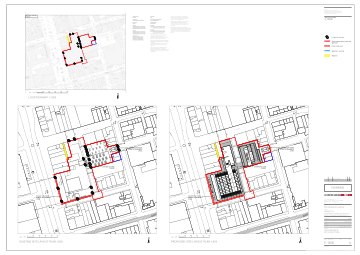
Thirteen applications since 2019. Seven granted, three refused, five carried to An Coimisiún Pleanála. The whole record, in one workspace.
Open the siteA real workspace, opened up. No account needed.
The agent
Every site comes with a stack of paperwork.
Ask, and it does the reading.
It finds the applications that matter, opens the documents, and tells you what they say — and where it found it.
It reads the actual documents
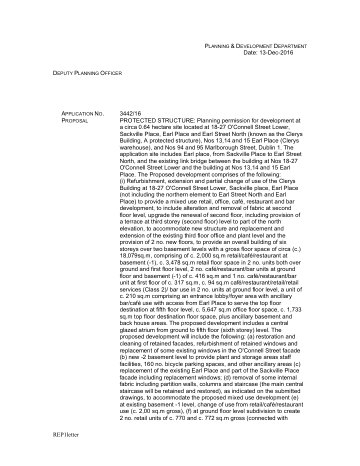
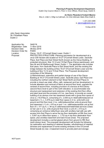
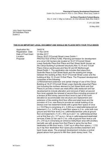
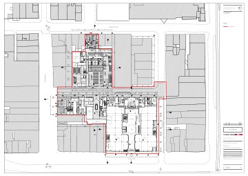
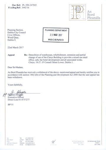
One application can run to dozens of files. Ask why something was refused and it opens them, finds the passage, and gives it to you word for word with the page it came from.
It answers what a filter can't
What keeps getting refused around here? How long does this council really take? It works the question out, then shows you how it got there.
“What keeps getting refused on streets like this one?”
analytics_query
select refusal_ground,
       count(*)
from decisions
where authority = …
group by 1
Read-only. It shows you the query it ran.
It already knows which site you mean
Open a site or an application and it is right there, working on that one file. No re-explaining where you are or pasting references back to it.
14 Oakley Road, Ranelagh
Ask about this site…
Who uses it
- Land and development teams
- Screening a pipeline of sites before bidding — what has been tried here, and what came back.
- Estate and land agents
- Proving to a buyer what a site can carry, without waiting on a consultant's report.
- Solicitors and conveyancers
- Checking the planning history behind a sale, with the decision notice attached.
- Lenders and surveyors
- Security reviews that need the permission, the conditions and whether it was ever built.
- Architects and self-builders
- Finding what was approved nearby, and the exact conditions that came with it.
- Planning consultants
- Building and defending a case with the precedent and policy that support it, cited.
Planning & delivery
- Local authority planning registers
- Development plans & zoning
- Residential Zoned Land Tax maps
- Building control records
- Property Price Register
+3 related feeds
Ground & environment
+12 related feeds
Heritage & archaeology
- National Monuments Service
- National Inventory of Architectural Heritage
- Protected structures & conservation areas
+2 related feeds
Land & tenure
For developers
Already have a product?
Put the record inside it.
Everything on this page is a REST call away: search, decision detail, planning history around a point or a boundary, the policy library, and which authority a site falls in.
- One call, the whole site
- An eircode, an address or coordinates. Back comes every application on and around that site: references, decisions, dates, and the documents behind them.
- Or skip to the finished report
- Ask the same endpoint for a PDF and hand your customer a complete planning-history report.
Keys are self-serve from the hub. Calls are metered against your plan’s credits.
# Every application on and around one site. curl -G https://api.eireplan.ie/ext/v1/precedents/site-history \ -H "Authorization: Bearer $EIREPLAN_API_KEY" \ -d eircode=D06X285 \ -d radius_m=250 # Same path ending in /report.pdf returns the finished PDF.